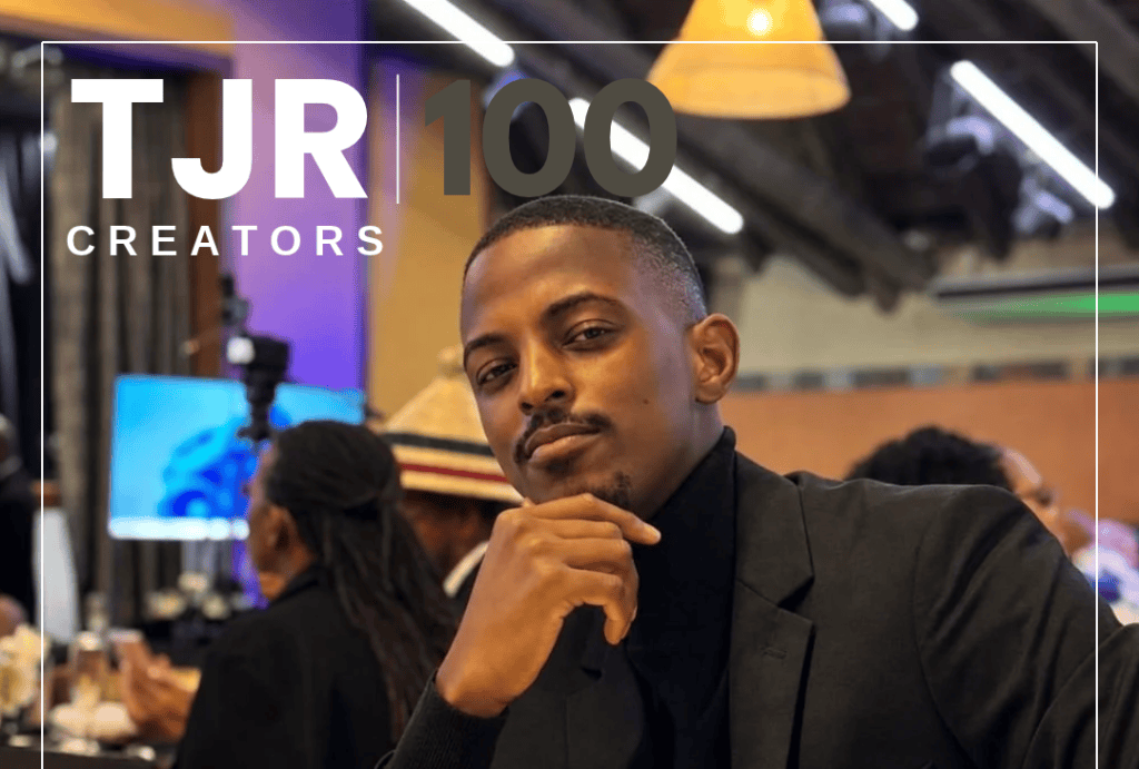
What can a map reveal about the country we think we know? Through geography, economics and data, Phelelani Mkhize is helping South Africans discover the stories behind the places they live, work and travel.
GeoKeys is a digital platform making complex subjects accessible through compelling visual storytelling. Mkhize first conceived the idea in 2021, following months of travelling across South Africa after the Covid-19 lockdowns.
His journeys through towns and cities across the country revealed something he felt was missing: a deeper appreciation of the places South Africans call home and the stories behind how they came to be.
In this TJR 100 Creators feature, we caught up with Mkhize to explore the thinking behind GeoKeys, his approach to making complex information accessible and why understanding the places we inhabit is just as important as understanding the people who live in them.
Take us back to the beginning. What sparked the idea for GeoKeys?
It started in 2021, just as South Africa reopened after lockdown. My work took me across the country, from the Northern Cape and North West to the Free State and Western Cape. I didn’t just pass through those towns. I lived in them for long stretches. I came home with one thought: most South Africans have no idea how remarkable these places are.
That started as a wish to show people the country. It grew into something bigger: helping South Africans understand the forces that shape where and how they live. I see GeoKeys as a form of public service. It takes the things people see every day but rarely question, and explains them simply.
Geography, economics and data can be quite technical subjects. How intentional was making them accessible, and why does accessibility matter to you?
It’s completely intentional. It’s the backbone of GeoKeys.
Geography and economics affect every South African every day, whether we notice or not. Where you live decides how long you commute, what you pay for food, which school your child attends and what work you can reach. Location ties together almost every part of our lives.
Information only becomes powerful when people can use it. So I always bring a topic back to the reader’s own life. Once something feels personal, people care about it. Whether it’s history, voter education or how the economy works, the goal is the same: helping South Africans make better decisions by understanding where we’ve come from and where we’re going.
Where does your curiosity usually begin when developing content?
All of the above. Something in the news, a striking statistic, a pattern on a map: any of them can start a story.
I read and research obsessively so I’ll follow a thread a long way down. But the real work comes after the spark. I have to answer one question: what does this mean for an ordinary South African? Anyone can talk about roads, elections or the economy. The value comes from showing someone exactly how it touches their life.
How do you ensure your work remains accurate, balanced and representative?
It starts with the data. I’m careful about where it comes from, how it was collected and whether it truly represents the people or places it describes. Whether I’m working with a sample or a full population, the test is the same: does this data honestly tell the story?
My background is in urban and regional planning, economics and data science, and that discipline matters. There are proper methods for testing whether data is representative, and I follow them. If the data can’t support a claim, I don’t make it.
What are some of the most interesting things your work has revealed about Johannesburg?
Johannesburg is the largest city in the world not built on a river, lake or coastline. Almost every great city grew around water, which meant fresh water, farming and trade. Johannesburg grew around gold. What’s remarkable is that it kept growing long after the gold rush ended.
The reason is location. Johannesburg sits at the centre of South Africa’s economic network. Goods arriving at Durban harbour travel up the N3, pass through Gauteng and move on to the rest of the country and the continent. Much of what happens in Cape Town or Durban passes through Johannesburg in some way. Gold is no longer the economy’s heartbeat, but Johannesburg is still its connective tissue.
How do you decide which stories deserve attention?
We’re drowning in data, so the hard part isn’t finding information. It’s deciding what matters. My filter is simple: does this help an ordinary South African understand their world and make better decisions? Chasing whatever is trending is the easy way out.
My background in planning, economics and data science and location intelligence helps here. It lets me see how governance, the economy and geography all connect. Then I zoom in and make that system specific and personal. Anyone can access information today. The real value lies in communicating it well.
What has been the biggest challenge in building GeoKeys?
Making the subjects I love interesting to everyone else. To most people, economics and geography sound dry. I can see how dozens of systems connect, but if I explain them all at once, I lose people.
The real challenge has been turning deep research into stories that are clear and compelling, and that people want to share. If you scroll back through my early posts, you can watch that skill develop. I’m still refining it.
Outside of the work you do, who is Phelelani Mkhize?
Away from the screen, I’m a lifelong learner who reads widely and loves rediscovering South Africa town by town, policy by policy and even shopping centre by shopping centre (haha odd I know..). Every GeoKeys video teaches me something new too. I am an ardent Football Fan – a lifelong Orlando Pirates and Chelsea FC Supporter – When I am not playing 5 a side or exploring cities or enjoying a meaningful conversation over coffee I am building tools with AI or spending time with family.
Quick-fire Qs
1. A South African city you find particularly fascinating to study?
Two. First is Queenstown, (currently referred to as Komani”). It was founded in 1853 during the Frontier Wars, and its centre was laid out as a hexagon for defence, so defenders could fire down every approach. You can still see the hexagon on Google Maps today.
Second is Welkom, the Free State’s “city of circles.” It was planned on the garden city ideals Ebenezer Howard set out in 1898 in response to overcrowded industrial cities. Our towns are a living record of how global planning ideas reached this country.
2. One statistic about Johannesburg that everyone should know?
About 15 cents of every rand in South Africa’s economy is generated in Johannesburg. That makes it the country’s largest single municipal contributor, even though it has no port, isn’t the capital and is no longer a major gold producer.
3. A research topic you could spend an entire day exploring?
Urban informality. We often treat it as the problem, when it’s really a response to one. Informal traders, minibus taxis and self-built housing appear where formal jobs, transport and housing haven’t kept up. If we understood informality as a signal of need rather than disorder, we’d make much better policy.
4. Your favourite GeoKeys project to date?
My investigation into Johannesburg’s billboards, a six-minute deep dive on YouTube:
5. One misconception about South Africa that data has helped you challenge?
That we already understand the size of our economy. When you look past headline GDP, which is largely estimated, at city and town-level data, the economy turns out to be deeper and more widely spread than most people assume.
The response to my videos has also shown me something the numbers can’t: South Africans of every background want the same thing, a country that succeeds. We may picture that success differently, but no one wants to see it fail.
Who do you want us to feature next? Nominate them here!



Leave a Reply